This week’s Joyland activity is a reading/drawing exercise. You have to read the description of a desert island and draw it accordingly.
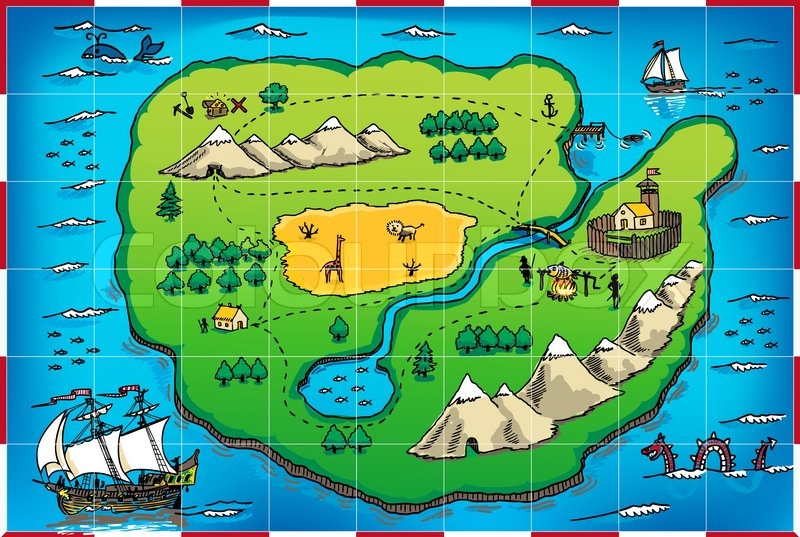
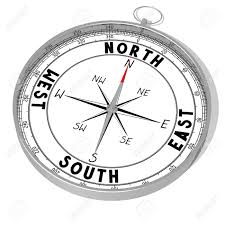
The map you see below is just an example, don’t copy it! You also have a compass to help you with your north, south, east and west!
The island is the shape of a heart.
There is a road that goes all the way around the island.
In the middle of the island there is a big mountain with a lagoon and a beautiful waterfall.
In the north of the island there is a forest with lots of trees.
In the south of the island there is a beach with a restaurant.
In the east of the island there is a port and a big boat.
In the west of the island there is a secret cove with banana trees and monkeys.
You should draw your island on A4 paper.
Make your island beautiful with lots of colour and detail.
Use a dictionary if you need to.
Keep your work safe and bring it to school with you when we return. You can also send me your work via email if you like. (My email address is paul.dry@gaudem.es)
I look forward to seeing your desert Islands!
hola
ResponderEliminarhola
hola
ResponderEliminarhola
hola
hola
hola
hola
hola
hola
hola
hola
hola
hola
hola
hola
hola
hola
hola
hola
hola
hola
hola
hola
hola
hola
hola
hola
hola
hola
hola
hola
hola
hola
hola
hola
hola
hola
7